
Explanation
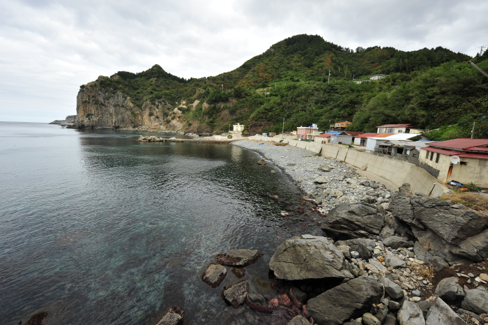
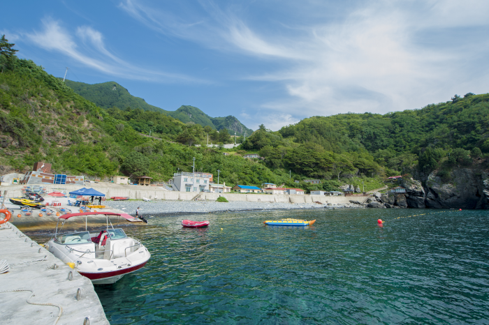
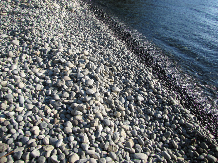
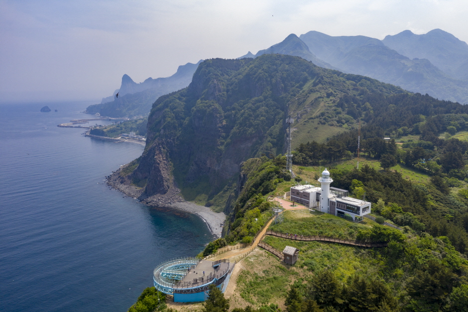
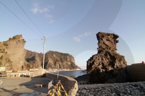
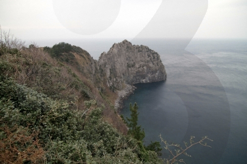
Hakpo is known for its beautiful coast as well as the remains that record the frontier history of Ulleungdo Island. There are agglomerate, tuff, and trachyte layers along the Hakpo Coast. The relatively hard trachyte layer that cannot be eroded by waves and remains has formed a cape (a large piece of land sticking out into the sea), while the agglomerate and tuff layers, which are subject to weathering and erosion, have formed a bay. Additionally, sea cliffs are found along the coast. As the lower part of the vertical columnar joints erodes, the upper part of the cliff collapses due to gravity, creating a steep cliff as the process is repeated. Visitors can also enjoy the atmosphere of Hakpo at the nearby Hakpo Campground.
Homepage
Information Use
Contact and Information : +82-54-791-2191
Parking facilities : Not available
Day off : N/A (Open all year round)
Hours : Open 24 hr
More information
Admission Fees
Free
Interpretation Services Offered
Not available
Location
166-29 Hakpo-gil, Seo-myeon, Ulleung-gun, Gyeongsangbuk-do
![Seonginbong Primeval Forest [National Geopark] (성인봉 원시림 (울릉도, 독도 국가지질공원))](http://tong.visitkorea.or.kr/cms/resource/57/2370057_image2_1.jpg)
![Elephant Rock [Ulleungdo-Dokdo National Geopark] (코끼리바위 (울릉도, 독도 국가지질공원))](http://tong.visitkorea.or.kr/cms/resource/79/2499379_image2_1.jpg)
![Bongnaepokpo Falls [Ullengdo & Dokdo National Geopark] (봉래폭포 (울릉도, 독도 국가지질공원))](http://tong.visitkorea.or.kr/cms/resource/28/1893628_image2_1.jpg)
 English
 한국어
한국어 日本語
日本語 中文(简体)
 Deutsch
 Français
 Español
 Русский